By John Treadwell Dunbar ——Bio and Archives--May 15, 2012
Travel | CFP Comments | Reader Friendly | Subscribe | Email Us
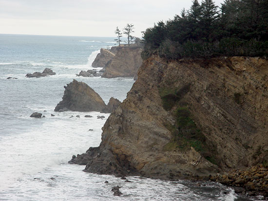
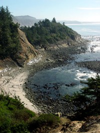 With a seemingly endless flow of money at his disposal, an obsessive penchant for pretty flowers blooming in manicured gardens, and not one, but two, ostentatious mansions to brag about, lumber baron Louis Simpson assembled and cultivated one of the grandest estates on the American West Coast between the 1920s and 1942. Perched on a sprawling bluff high above the raging Pacific, Simpson's masterpiece, known to the 21st century as Shore Acres, commanded stunning views of rugged headlands, teeming rookeries, offshore islands and sea stacks, and an enormous reef awash with thousands of feathered fowl and vast herds of marine mammals – seals and lions. Living in pinniped heaven, these blubbery beasts of the deep blue sea haul out now as they did back then, and lounge about on rocky ledges and in isolated coves under temperamental gray skies that are heavy, long and wide, but which mercifully turn blue during summer and fall.
 The problem is getting there. Crossing Coos Bay is an abrupt plunge back into the big city, relatively speaking, but it can be done. Here's my preferred route: from the 101 turn west up the steep hill onto Newmark right there by the casino, drive past the Walmart and all the other box stores until you run into Cape Arago Highway which will lead you four or so miles later over a bridge into Charleston.
 Then follow the signs to Sunset Bay State Park and begin your trip south down a four-mile slice of heaven on earth. Navigate these turns and follow the signs and if you make it you'll understand why so many out-of-state tourists don't bother. But that's all right. It's their loss.
The 1930s were not kind to Louis Simpson. He joined other mighty ones who fell from great heights during that lost decade and was forced to sell off Shore Acres to the state of Oregon which continues to maintain it as a public park, doing a remarkable job living up to Simpson's botanical legacy. Gone are the mansions.
 The first three-story behemoth, which included a large ball room and indoor swimming pool, burned down in 1921, and its replacement, a 224-foot-long, two-story shack was eventually razed on account of rot and systemic degradation. Where they once stood you'll find an enclosed observation building. Shore Acres also boasts a garden house and performance pavilion. As you wander about the well-kept gardens, brace yourself for a visual and cultured treat.
The lush multi-acre public estate is awash with exotic and native plants, a Japanese garden, run-of-the-mill evergreen trees and shrubs, and the largest Monterrey pine in Oregon. “A garden for all seasons,” flowers take turns peaking throughout the year; early spring, hundreds of daffodils and bulbs mysteriously appear; 8,000 tulips pop up between March and April; April through May will dazzle with azaleas and rhododendrons in the hundreds; May through September showcases 5,000 flowering perennials/annuals. If you love roses, and who doesn't love roses, you'll find 800 rose bushes from June through September, and 250 dahlias from August to the middle of October. That's a lot of gardening, and a tremendous amount of upkeep, which more that justifies the nominal parking fee, somewhere around $5 if I recall.
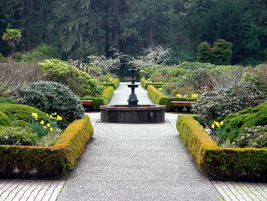 The Shore Acres spectacle turns artificial between Thanksgiving and New Years when the gardens are glutted with over 300,000 holiday lights (most of them LED) strung up by an army of 1,500 dedicated volunteers. This largest light show on the West Coast of its kind attracts roughly 50,000 visitors each season. Sculpted art at its most electric, the brilliant bulbs are draped and flung about in astounding displays; butterflies, puffins, octopus, frogs, dragonflies, sea stars, a spouting life-sized 45-foot gray whale, leaping Orcas and pelicans, and cranes, and much more; Christmas trees of course, and they serve hot cider and cookies and coffee at the garden house; oh, and a ship sculpture, and big old mushrooms, everything lit up like one of them hippie acid trips, and I shudder to think what it costs to light this joint up.
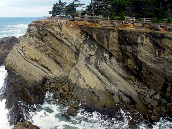
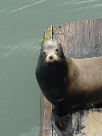 Check the weather before you venture out to those high sandstone bluffs where winter storms will peel the skin off your nose and knock you down into the mud or fling you out over the abrupt, but very photogenic, edge to be disemboweled on the sharp rocks protruding from the raging surf below. Hold on to the little ones.
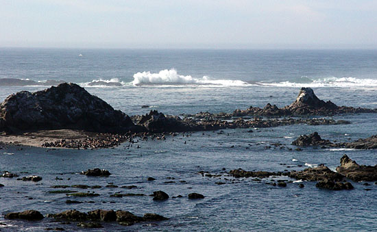
Continue driving south on the Cape Arago Highway one mile or so to the end of the road where stellar panoramic views await you from the Simpson Reef and Shell Island Overlook at Cape Arago State Park. Part of the Oregon Islands National Wildlife Refuge, the rocky reef and busy island is certain to take your breath away, especially when the sun breaks out and the pinnipeds have dragged themselves out of the surf onto the rocky island for some noisy, and pungent, fellowshipping.
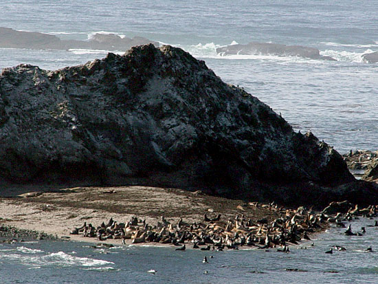 From this distance it's hard telling which is which, but out among that mass of flippers and big bellies are elephant seals, California and Stellar sea lions, and harbor seals, and if you time it right, California gray whales out in the water on the move. Allegedly Sir Francis Drake set eyes on Cape Arago in 1579. He might have even landed in the bay, which is accessible by two hiking trails; the southern route leads to sand and the best tide pools, I'm told (look but do not steal), and the north cove trail offers up good fishing and better views of the breeding colonies on Shell Island.
 If you stumble across one of those adorable baby seals on the sand appearing dazed and confused, don't worry, it's not lost and its mother is nearby , though out of sight. If you are dumb enough to lug that cuddly bubble of fat back to the animal rescue shelter, thinking it's been abandoned and needs your help, think again because you might as well fire up the barbie and fillet the furry fellow right then and there because it's probably as good as dead once you smeared him or her with your people-stink and cause its mother's rejection. Understandably, the north cove trail is closed March 1 – June 30 to protect those seal pups so they can grow to maturity and be ripped to shreds by sharks, killer whales and twirling propellers.
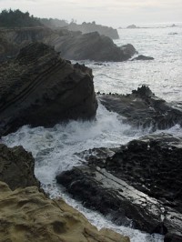 Sunset Bay State Park lies four miles or so back up the road, north of Shore Acres. Towering sea cliffs protect sandy beaches and shelter a shallow cove, turning the summer waters calm and warm enough to swim in, protected from the elements, a rare find north of California's Santa Barbara. Pirates supposedly hid in Sunset Bay, although I didn't know they terrorized this neck of the woods. Popular among those fleet of foot are interconnecting trails between Sunset Bay, Shore Acres and the bay at Arago State Park. Needless to say, the views are magnificent.
Look out to sea for the Cape Arago Lighthouse on Chief Island which is connected to the mainland by a steel-truss bridge, and currently is not open to the public, although we are waiting. Once a Native American burial ground, the Indians were unceremoniously booted off by 1866 when the first of three lighthouses were erected, vital aids to navigation essential in safeguarding significant amounts of traffic in and out of Coos Bay, particularly timber and coal. A second tower went up in 1909, and a third where the second one used to stand now spins its shaft of light out to sea, or used to until recently.
 That noble undertaking, saving seamen's lives by beam of light, came to an abrupt end January 1, 2006, when the United States Coast Guard pulled the plug on the light and decommissioned the Cape Arago Lighthouse. By October, 2008, the station, and maybe Chief Island itself, I don't know, was conveyed to the Coos, Lower Umpqua and Siuslaw Indians who are required to make the light station accessible to the public “for educational, park, recreational, cultural, and historic preservation.” Not sure if the Confederated Tribes are upholding their end of the bargain, but it sure would be nice to catch the view from out there sometime soon. It's been three-and-a half years.
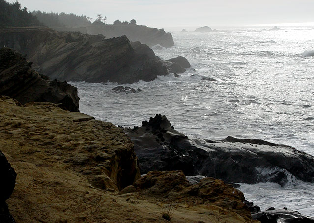
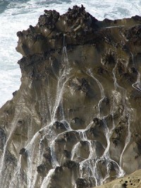
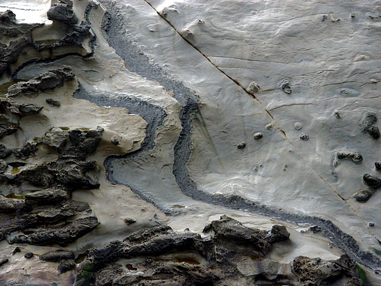
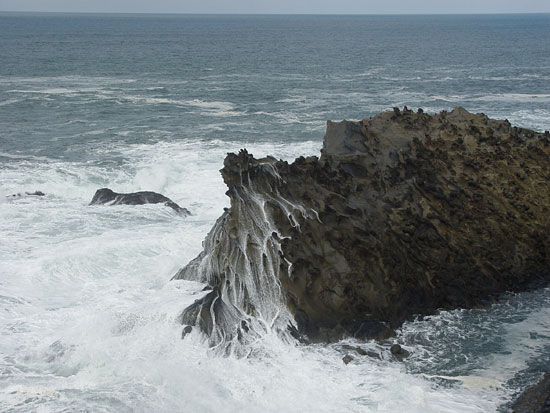 Rain or shine, a visit to the Coos Bay Coast is well worth the crazy drive across town. Sheer, craggy, loud and thunderous, the headland views are unparallelled and highly dramatic. A convoluted coast, jagged and ruptured, the ocean breaks in wild, heaving liquid configurations, crashing waves roaring hundreds of feet skyward, draining rivers of foam and ocean backwash in tangled streaming webs across eroding stone, crushing and gushing and sloshing and pounding and rumbling, and making things wet. And mighty pretty.
View Comments
John Treadwell Dunbar is a freelance writer